Satellite Images Show the Destruction Caused by Venezuela’s Twin Earthquakes
July 1, 2026
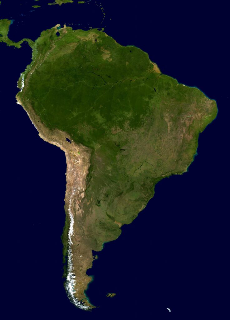
(Wired) – The maps and images show the extent of destruction and give rescue operations a tool to find any remaining survivors.
Satellite Technology Is being used to streamline rescue efforts in Venezuela following the two earthquakes that struck on June 24. Space agencies have shared images with emergency authorities and the Venezuelan government that not only reveal the magnitude of the disaster but also allow response teams to identify where to focus their efforts—and the challenges on the ground. (Read More)
